Klara Otto · 26 October 2026
Boundary Stones in Heathgate Trace Centuries-Old Trade Paths Through Protected Heathlands
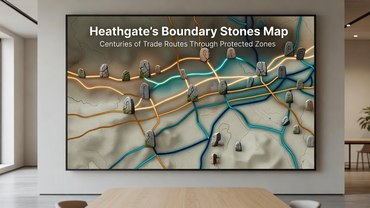
Boundary stones scattered across Heathgate mark the outlines of trade networks that operated for hundreds of years while defining the edges of protected heathland areas and guiding travelers along established paths. These markers, carved from local stone and positioned at regular intervals, date back to medieval periods when merchants moved goods such as wool, timber, and salt between coastal ports and inland markets, and their placement often aligned with natural features like ridges and streams that still shape the landscape today.
Archaeologists have mapped clusters of these stones near former crossing points where routes intersected protected zones, and records show that by the 14th century traders relied on them to navigate areas now designated for conservation because the stones helped prevent encroachment on grazing lands and water sources. One study from the University of Exeter revealed that certain stones bear inscriptions referencing tolls collected along these paths, which connected Heathgate to larger regional networks extending toward the Midlands and beyond.
Tracing the Routes Through Protected Terrain
Trade activity intensified during the 16th and 17th centuries when boundary stones received additional markings to reflect shifting ownership and to safeguard heathland from overgrazing caused by heavy wagon traffic, and researchers note that these updates coincided with royal decrees that established early forms of land protection. The stones therefore served dual purposes as navigation aids and legal boundaries, a practice that continued into the 19th century when enclosure acts prompted further documentation of the routes.
Modern surveys combine GPS data with historical maps to reconstruct these paths, and the work shows that several routes avoided steeper slopes within protected zones to reduce soil erosion while still allowing efficient transport of goods. In October 2026 the Heathgate Heritage Initiative plans to release an updated interactive version of the boundary stones map that incorporates findings from recent excavations, allowing visitors to follow the old trade corridors digitally without disturbing the physical markers or the surrounding heathland.
Mapping Efforts and Preservation Measures
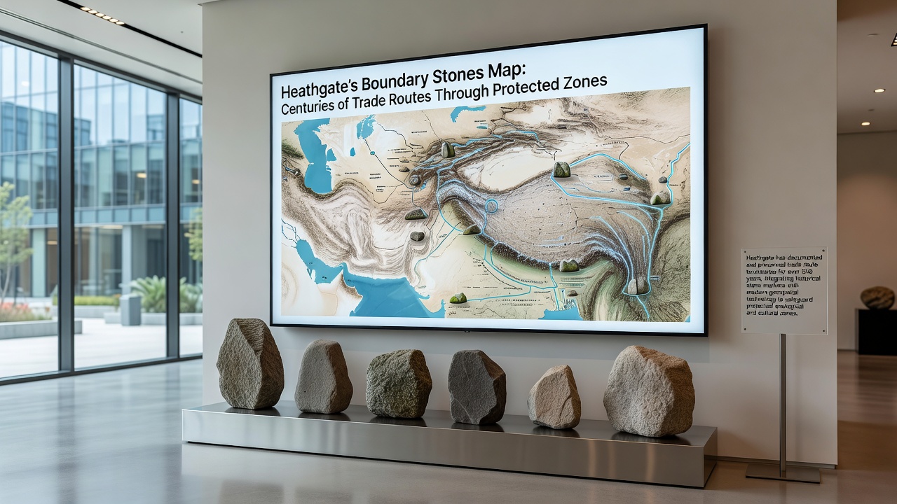
Local historians have identified more than 40 stones that remain in their original positions, and many stand near sites where packhorses once rested during long journeys across the heath, and the arrangement of these markers reveals how traders adapted to seasonal changes in the protected landscape. Conservation groups now monitor the stones for weathering and vegetation overgrowth, while educational programs teach residents how the markers illustrate the balance between commerce and environmental protection that has existed for centuries.
Data compiled by the International Council on Monuments and Sites shows similar boundary systems in other European protected regions, yet Heathgate's collection stands out because the stones align with both trade corridors and ecological boundaries that remain intact. Observers note that the stones also appear on 18th-century estate records, which helps confirm their role in preventing disputes over land use inside the protected zones.
Community Involvement and Future Documentation
Residents participate in annual clean-up events around the stones, and these gatherings often include talks on how trade routes influenced the development of local settlements just outside the protected heathland. Schools in the area incorporate the boundary stones map into geography lessons so students learn about historical commerce alongside current conservation rules that limit development near the markers.
Further analysis using LiDAR technology has uncovered faint trackways connecting clusters of stones, and these findings suggest that some routes operated year-round while others followed drier ground during winter months. The combined evidence paints a picture of a landscape shaped by both economic activity and deliberate protection measures that predate modern environmental laws.
Conclusion
Heathgate's boundary stones continue to outline centuries of trade movement through protected zones, and the ongoing mapping project scheduled for completion in October 2026 will make this history more accessible while supporting efforts to preserve both the markers and the heathland they helped define. The stones stand as physical records of routes that balanced commerce with land stewardship, and their preservation ensures that future generations can study these connections without relying solely on written accounts.